Directions for Harts Pass
Directions for Harts Pass (and Slate Peak)
Harts Pass is known to sledders in the North Cascades as a wild one. The Author is more familiar with the nearby site, of Slate Peak.
Actually, one way to get to the area is the Slate Peak's access road. In the summer it's a tourist type place, with easy access by graded gravel road to almost the top.
The last 1/2 is hiked, pass the locked gate to the 7400 ASL top, with a lookout and some radio towers. It's a solar powered site, because of no commercial AC power nearby.
In fact, the nearest hint of civilization is the extremely small "town" of Mazama, to where you get off from SR-20 (North Cascades Highway).
From the intersection at Mazama head west about 10 miles to the end of the pavement, then continue up the gravel, winding road.
When you pass the first open face (great view) to the "Y", stay to the right. After the Ranger's station, just stay uphill to the locked gate. From there it's a walk.
In the winter, of course you are on your own.
The Author's only been there in the summer, but from the looks of the slope it's a real extreme climbing area, plus there's huge cornices in the winter so be very careful not
to get out too far. Should one give away, you will not survive.
The Author gave the avalanche danger as "very high" (a 4). This area would not be for the beginner.
For the advanced and (crazys) it should be fun-wild on climbing and just about no other type of riding known at this time, however, the generic pictures down near the bottom
of this document, might prove differently with some exploring or going with some one who knows the area. At time of publishing the Author's not been here in the winter.
The pink arrows point to the general area.


This map on the left does not do justice, however, the right one might help. For a HUGE version of the right map, click on the image.
The Green arrow is the Mazama area, while the Pink arrow is the top.


Looking East, shows the access road during the summer from around July to September. Small window for driving. Note the exciting climbs. The left side looks much safer.
Reminder; some of these pictures are clickable for a larger version.


This is looking down in the play area, with some open area, if any, to catch a run at the climbing. The angle the pictures were taken does not do justice.
It's much steeper than it looks.


This is generally looking to the North, up the very majestic valley.


This is looking towards the West; About 80 miles is the cities of Everete, and, to the South, Seattle. It's a radio site-all solar powered, with no heat inside.
It's sure a nice, welcome site to see some snow left over. That day it was hot, down below in the cities. Up at 7400 ASL, here author enjoyed cool temperatures, like in the fall.


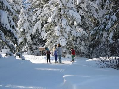
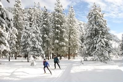
Here's some other generic pictures taken off the web. They might give you an idea about addition open areas for possible boondocking.


.


Obviously it's a "park area" accessible to the general public. The right map kinda shows in relation to major towns.


There's other activities in the area, especially lower down, so tread lightly.


For additional info where to stay in the area:
Contact the Winthrop Chamber of Commerce at 888-463-8469, or on Web .
Freestone Inn: Winter rates are $120-$185 per night for single or double room; $125-$250 for Early Winters cabins; $250-$410 for lakefront lodges.
For information, visit the
Web or call 800-639-3809, or 509-996-3906.
Other Accommodations: There are other fine places to stay in the
Mazama Country Inn ,
and the Mazama Ranch House , as well as throughout the Methow Valley.
For details, see the Okanogan County Tourism Council's Web site
Ski Trails:: The Methow Valley Sport Trails Association maintains the cross-country ski trails and requires a nominal fee to ski: $15 per person per day or $35 per person
for three days. Passes may be purchased at Jack's Hut at the Freestone Inn or at Winthrop Mountain Sports in Winthrop.
For information, visit the Web site , or phone 509-996-3287.
Rendezvous Huts: Make reservations at 800-257-2452, or at the
Web site .
![[Kar's sled page]](images/winter_home3.gif)


![[Kar's sled page]](images/winter_home3.gif)